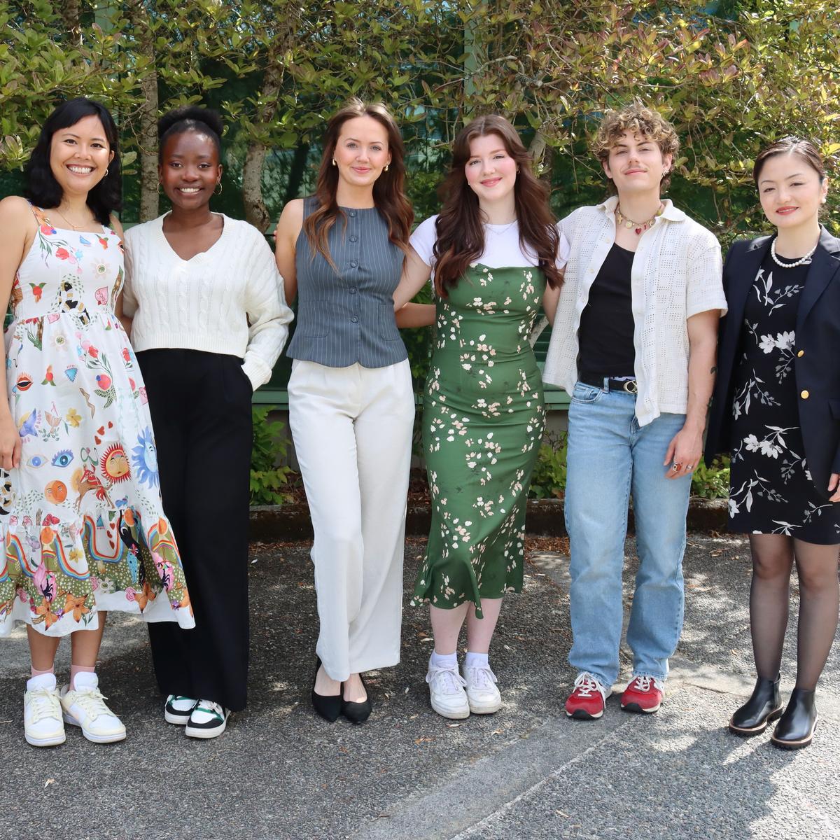
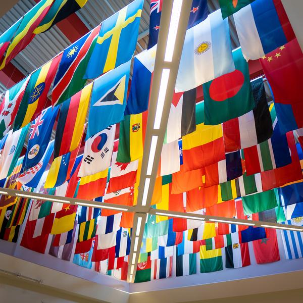
LiDAR: A Technology for Building Climate Resiliency in Belize

Ground elevation at 1-meter spatial resolution of the Philip Goldson International Airport area, in Ladyville, Belize
Author: Alfred Cal

LiDAR: A Technology for Building Climate Resiliency in Belize

As I am almost at the end of my 2 year program here at VIU, I could not help but reflect on the vast knowledge and experience I have gained as a VIU Queen Elizabeth Scholar.   This blog is a short narrative of my current master’s research on the effectiveness of Lidar data in flood modeling and impact analysis and as a technology for Building climate resiliency in Belize.

Flooding is one of the most catastrophic natural disasters that causes extensive damages to infrastructures and in some cases the loss of human life. Over the years, flood frequency and severity has been increasing attributed to climate change. Coastal countries such as Belize have been continuously impacted on a regular basis. A recent flood disaster in Ladyville, Belize, has shown a greater need for the monitoring of flood plain areas. In developed countries such as Canada, flood mapping technologies and monitoring are at an advanced stage and can provide real-time early warnings. However Belize is a developing country which currently lacks reliable spatial data for disaster management. Spatial data is the location of geographic features on the ground, the location of a house or spatial location of a river and its relation to neighboring features. This bring me to the excitement of LiDAR data introduction to Belize!  For the first time in Belize, through a governmental initiative, an airborne LiDAR survey was completed in October of 2017 for areas in the downstream portion of the Belize River Watershed.   This includes communities along the coast, including Belize City and Ladyville village. LiDAR technology is relatively new in Belize, and it is therefore treated with high confidentiality, however I was fortunate to be given access to this data as part of a research project for a case study of Ladyville village, Belize.

LiDAR stands for Light Detection and Ranging. It is a remote sensing technique that uses laser light to obtain measurements of the surface of the earth. Measurements and height of features on the ground are calculated by measuring the time delay between the transmission of a pulse and the detection of the reflected signal. The result of the airborne LiDAR survey for a small area of Belize is a LiDAR mass point cloud data. Mass point cloud data are large collections of 3D elevation points, which include x, y (location) and z (height) data. The image below is a sample of post processed LiDAR point cloud data for Ladyville village. The red points represent Buildings, light to dark green represents high to low vegetation cover. 

Post processed LiDAR point cloud data for Ladyville village

The LiDAR point data is very dense with a point average spacing of 0.3 meter, which means that in 1 square meter on the ground, there is on average 9 points. Due to the dense points of LiDAR data, one can create a high-resolution topography of the landscape which has proved to be a preferred and essential data for flood modelling. The elevation of the ground at large scale is essential to understand and determine where flood water will flow. The image below is ground elevation at 1-meter spatial resolution of the Philip Goldson International Airport area, in Ladyville, Belize.

Ground elevation at 1-meter spatial resolution of the Philip Goldson International Airport area, in Ladyville, Belize 

The accurate height of urban features such as Buildings, roads, and bridges are represented as well, this is essential in determining the impacts of flood waters on urban infrastructures. The image below is the absolute height of features including vegetation.   

From the LiDAR derived datasets, flood plain boundaries and flood water depths can be created as shown on the image below.

 Flood plain boundaries and water depths

Furthermore, flood flow velocity can be created, and flow velocity is the speed at which the flood waters are moving. This is very important during rescue operations, to determine which areas are safe to maneuver. Areas in red shown on the image below represents high flood velocity.

 Flood flow velocity

By having this type of data, impact analysis on the infrastructure and population of an area can be completed. Not only will it determine if the structure is in a flood prone area, but it will determine how high the water reaches and the velocity of the flood water on the structure.

Preliminary results of this research are showing that residential Buildings with a total of 982 Buildings are most affected, and 43% of the population of Ladyville is at high risk.

The use of precision and high spatial resolution of LiDAR derive datasets provides a detail flood assessment and a good knowledge of the vulnerability of the infrastructures and population of Ladyville village. 


This study thus far has revealed the effectiveness of LiDAR data for flood modeling; however, its application is vast in other disciplines such as forest management, transportation, and the engineering industry. 

In the face of recurring natural disaster, vulnerable communities such as Ladyville can use LiDAR data to understand the depth and velocity of flood waters in the flood plain as well as the impact it will have on the infrastructures and population. With such information, flood mitigation and proper planning can be implemented to be better prepared for natural disaster. Evacuation routes, the identification of safe shelters is just some of the added benefits of this data. This is just a bird’s eye view of the opportunities and effectiveness of LiDAR in Building a prepared and resilient community in a climate changing world. The results of this ongoing research will provide a comprehensive flood study of Ladyville and will certainly have huge benefits to Belize on a whole, so do keep in touch.

- Alfred Cal, VIU Masters of Geographic Information Systems and Applications (MGISA) & QE Scholar

Related Posts